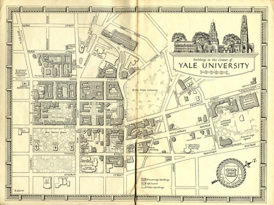
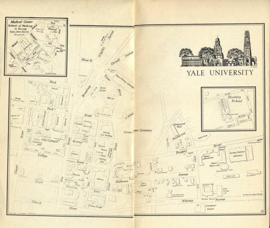
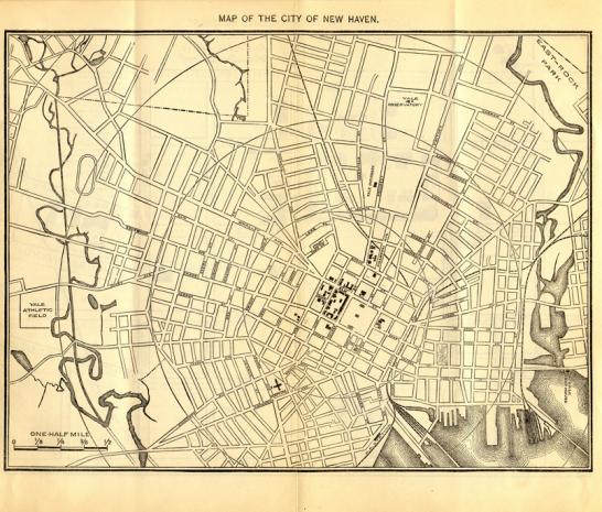
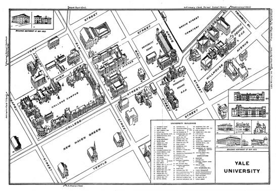
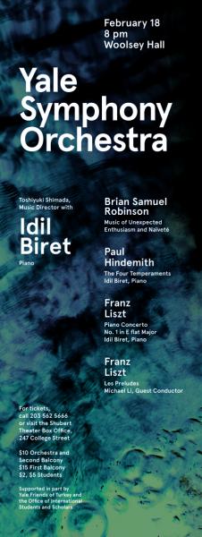
Among the responsibilities of our office is maintenance of the University’s print and online campus maps. This is the first of several entries examining the history of Yale maps.
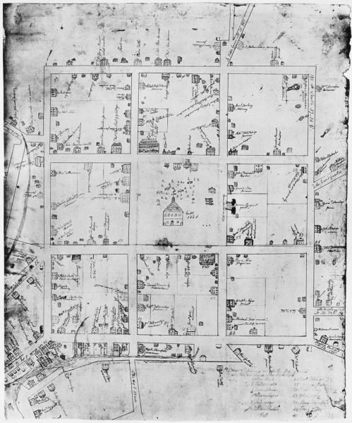
Yale made its first appearance on a map in this plan of New Haven’s nine squares, drawn by James Wadsworth, Class of 1748, in his senior year. The College’s original building—erected in 1717 and known as Yale College House—is the large, gabled structure on the northwest corner of what are now College and Chapel Streets, where Bingham Hall now stands. A wooden building more than 170 feet long, it was both dormitory and academic hall, with a chapel, library, dining room, and kitchen. The home of Yale’s president, Thomas Clap, is to its left, across Chapel Street. The Wadsworth map’s orientation, with west rather than north at the top, established a standard that Yale campus maps would follow for more than two centuries.
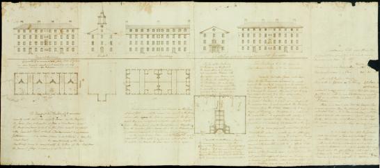
John Trumbull’s plan for the development of the Brick Row, 1792, with alternating residence halls and academic buildings. Left to right: Union Hall (1794), College Chapel (1763), Connecticut Hall (1750–52), Lyceum (1802), and Berkeley Hall (1801).
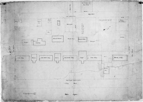
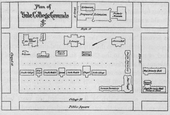
Anonymous plan, ca. 1841. In the mid-nineteenth century, the residence halls were colloquially known as South, South Middle [Connecticut], North Middle, and North Colleges (1820). The Brick Row also included a new, larger Chapel (1824) and, at the north end, Divinity College (1835), the first home of Yale’s Divinity School; it was separated from the Yale College buildings by the new President’s House (1800). In the yard behind the Brick Row were coal yards and other service facilities, as well as the Laboratory (1782), built as a dining hall and converted to a chemical laboratory in 1820; the Cabinet (1819), with a dining hall on the ground floor and mineralogical and geological collections on the second floor; and the Trumbull Gallery (1830), the first art museum on an American college campus. Of the buildings shown in this plan, only Connecticut Hall would remain in 1901.